Tasmania’s compact size can create the false impression that the island is easy to explore in only a few days. Distances may look short, but mountain roads, weather changes and frequent scenic stops can significantly extend travel times.
A well-planned circuit generally requires at least seven days. Ten to fourteen days allows travelers to explore national parks, historic towns and coastal regions without spending most of the trip inside a vehicle.
Hobart, the Tasman Peninsula and Port Arthur
Hobart is the most common starting point for a Tasmanian road trip. The city combines waterfront areas, markets, museums and access to kunanyi/Mount Wellington.
Weather on the mountain can differ sharply from conditions in central Hobart. Visibility, wind and road access should be checked before driving to higher elevations.
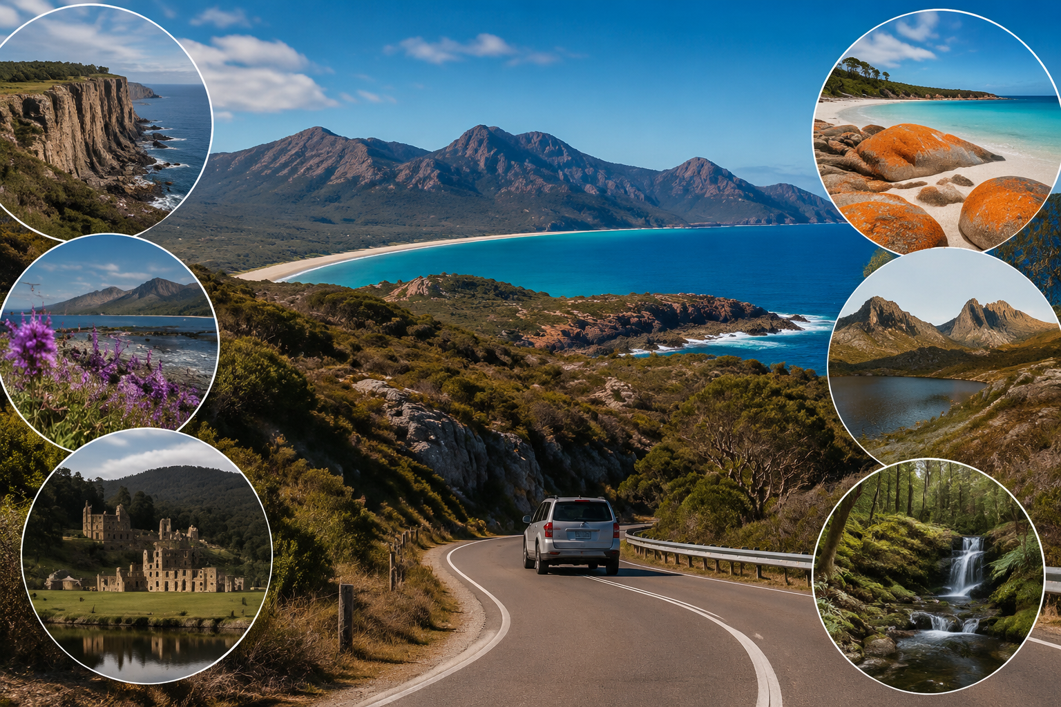
Southeast of the city, the Tasman Peninsula contains cliffs, walking trails and the Port Arthur Historic Site. The former convict settlement provides insight into British colonial transportation and the experiences of prisoners, soldiers and free settlers.
The surrounding region also includes geological formations such as the Tasman Arch, Devil’s Kitchen and the Tessellated Pavement.
Freycinet and Tasmania’s East Coast
Traveling north along the east coast leads toward Orford, Swansea, Bicheno and Freycinet National Park.
Wineglass Bay is the best-known destination in Freycinet, but travelers should allow time for Hazards Beach, Cape Tourville and quieter coastal walks.
Bicheno is associated with penguin viewing and marine wildlife. Responsible tours use controlled group sizes and low-impact lighting. Visitors should avoid using flash photography or blocking an animal’s path.
Farther north, the Bay of Fires region is known for clear water, white beaches and orange lichen-covered rocks. The name originates from fires observed by European explorers rather than the color of the rocks.
Launceston and Cradle Mountain
Launceston provides access to the Tamar Valley and Cataract Gorge. It is also a useful place to restock before continuing into Tasmania’s mountainous interior.
Cradle Mountain-Lake St Clair National Park is one of the island’s major natural attractions. Conditions can change quickly, even in warmer months.
Visitors should carry waterproof clothing, warm layers and sufficient food. Shuttle systems may operate in high-traffic areas, and private vehicle access can be restricted at certain times.
Official park information, alerts and entry requirements can be checked through the Tasmania Parks and Wildlife Service.
The West Coast and Changing Weather
Tasmania’s west coast has a different character from the drier east. Rainforest, mining history and rugged mountains shape destinations such as Strahan, Queenstown and the Franklin-Gordon region.
Roads may be narrow and winding, with limited opportunities to overtake. Estimated travel times from navigation applications should therefore be treated cautiously.
Strahan serves as a base for exploring Macquarie Harbour and the Gordon River. The region’s history includes convict transportation, timber extraction and environmental campaigns.
Travelers driving from Strahan toward Hobart can stop near Lake St Clair, Mount Field National Park or the Derwent Valley.
Biosecurity and Responsible Self-Drive Travel
Tasmania’s relative isolation makes biosecurity especially important. Travelers arriving by ferry or air must follow restrictions concerning fruit, plants, animals and other controlled items.
Drivers should also avoid transporting soil or plant material between natural areas. Cleaning hiking boots and equipment helps reduce the spread of weeds and plant diseases.
Wildlife is frequently present near roads, especially around dawn and dusk. Night driving should be minimized to protect animals and reduce collision risk.
A successful Tasmania road trip depends less on covering the entire island and more on leaving space for weather changes, local walks and unplanned discoveries.